A City of Philadelphia neighborhood map can look a little confusing at first. The city is packed with historic streets, local districts, riverfront areas, college neighborhoods, food corridors, residential pockets, and famous tourist spots. For a first-time visitor, it is not always easy to know where one neighborhood ends and another begins.
That is part of what makes Philadelphia interesting. It is not just one downtown with a few suburbs around it. Philly is often called a city of neighborhoods because each area has its own pace, personality, architecture, food scene, and local identity.
If you are visiting for the first time, a neighborhood map can help you plan where to stay, where to eat, what to explore, and how to move around the city without wasting time. This guide breaks down the main areas in a simple way, so the map feels useful instead of overwhelming.
What the City of Philadelphia Neighborhood Map Shows
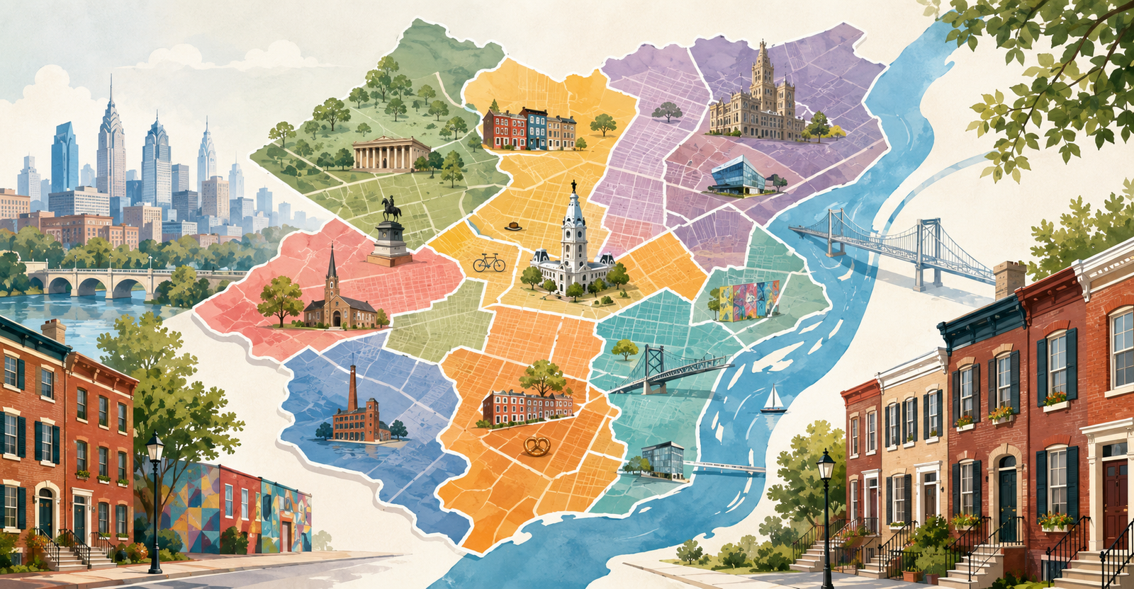
A City of Philadelphia neighborhood map usually shows the names and rough boundaries of different neighborhoods across the city. These may include well-known places like Center City, Old City, Rittenhouse Square, Fishtown, University City, South Philadelphia, Fairmount, Manayunk, and Chestnut Hill.
Some maps are made for visitors. These usually focus on hotels, landmarks, public transit, museums, restaurants, and walkable areas. Other maps are more official or data-based. Tools like OpenMaps, Atlas, ArcGIS, and OpenDataPhilly may include details about neighborhood boundaries, zoning, property records, planning districts, ZIP codes, and GIS data.
For a visitor, the most helpful map is not always the most technical one. You usually need a map that answers simple questions like:
Where is Center City?
Which neighborhoods are close to major attractions?
Where should I stay for my first trip?
Which areas are best for food, nightlife, museums, or history?
How far is one neighborhood from another?
That is why it helps to understand the city by larger sections first.
Start With Center City
For most first-time visitors, Center City is the easiest place to understand first. It is the heart of Philadelphia and includes many of the city’s most popular hotels, restaurants, shops, theaters, and historic areas.
On a Philadelphia neighborhood map, Center City sits between the Schuylkill River and the Delaware River. It includes several smaller neighborhoods, each with a different feel.
Rittenhouse Square is polished, walkable, and full of restaurants, cafes, shops, hotels, and classic city streets. It is one of the best areas for first-time visitors who want comfort, good dining, and easy access to the rest of the city.
Logan Square is close to major cultural attractions, including the Philadelphia Museum of Art, the Rocky Steps, The Franklin Institute, and the Barnes Foundation. If museums are a big part of your trip, this area makes sense.
Washington Square West has a lively mix of dining, nightlife, small shops, and historic streets. It is also close to Midtown Village, which is known for restaurants, bars, and theater.
Market East is useful for shopping, transit, and access to Reading Terminal Market. It is also close to City Hall and major SEPTA connections.
For first-time visitors, Center City is usually the safest bet if you want to see a lot without traveling too far.
Old City Is Best for History
If your trip is built around history, look for Old City on the map. This is where you will find some of Philadelphia’s most famous landmarks, including Independence Hall, the Liberty Bell, Independence National Historical Park, and Penn’s Landing.
Old City has cobblestone streets, galleries, restaurants, bars, and historic buildings. It feels different from the modern parts of Center City because the streets carry more of the city’s colonial past.
Nearby Society Hill is quieter and more residential, with beautiful old homes, brick sidewalks, and a calm historic feel. Queen Village and Bella Vista are also close by and offer a more local neighborhood experience with restaurants, shops, and access to South Street.
If you are using a City of Philadelphia neighborhood map to plan your first day, Old City is one of the most important areas to mark.
South Philadelphia Is Full of Food and Local Character
South Philadelphia covers a large area south of Center City. On a map, it may look simple, but it includes many smaller neighborhoods with strong local identities.
East Passyunk is one of the best-known food areas in the city. It has restaurants, coffee shops, bars, boutiques, and the famous Singing Fountain. If you want a neighborhood that feels local but still visitor-friendly, this is a strong pick.
Bella Vista is home to the Italian Market, one of the city’s most famous food destinations. It is great for walking, eating, and seeing a more traditional side of Philadelphia.
Queen Village has a charming residential feel with easy access to South Street, small restaurants, and historic homes.
Farther south, the Stadium District includes Lincoln Financial Field, Citizens Bank Park, and Wells Fargo Center. This area is important if you are visiting for an Eagles, Phillies, Flyers, or 76ers game.
For food, local culture, and sports, South Philadelphia deserves a close look on the map.
University City and West Philadelphia
West of the Schuylkill River, you will find University City and the larger West Philadelphia area.
University City is best known for the University of Pennsylvania and Drexel University. It has a young, academic energy with cafes, restaurants, museums, hospitals, student housing, and green spaces.
This area is useful for visitors coming for college tours, medical appointments, academic events, or trips connected to the universities. It is also close enough to Center City that you can move between both areas fairly easily.
Other West Philadelphia neighborhoods include Powelton Village, Spruce Hill, Cedar Park, Walnut Hill, Mantua, Cobbs Creek, and Wynnefield. These areas are more residential and local, though some have great food, arts, and community spaces.
If this is your first time in Philadelphia, University City is the most visitor-friendly part of West Philly to understand first.
Fishtown and Northern Liberties
On the northeast side of Center City, the map starts to shift toward neighborhoods known for restaurants, nightlife, music venues, galleries, and creative energy.
Fishtown is one of the most talked-about neighborhoods in Philadelphia. It is known for coffee shops, bars, restaurants, music, street art, and the Frankford Avenue Arts Corridor. It has a younger and trendier feel than many older parts of the city.
Northern Liberties sits closer to Center City and has apartments, restaurants, nightlife, and easy access to the Delaware River Waterfront. It is a popular area for visitors who want something lively but not right in the middle of downtown.
Nearby areas like Old Kensington, East Kensington, and Port Richmond show how quickly neighborhood character can change from one part of the map to another.
If you are visiting Philadelphia for food, nightlife, or a more modern local scene, Fishtown and Northern Liberties are worth adding to your plan.
Fairmount and the Museum Area
Fairmount is a strong neighborhood for visitors who want museums, parks, and classic city streets. It sits near the Philadelphia Museum of Art, Eastern State Penitentiary, Boathouse Row, and Fairmount Park.
This area is calmer than some parts of Center City, but still close enough to major attractions. It is a good choice for travelers who like walking, museums, green space, and neighborhood restaurants.
Nearby areas include Spring Garden, Francisville, Brewerytown, and Callowhill. These neighborhoods can appear close together on the map, but they each have a slightly different feel.
For a first-time visitor, Fairmount is especially useful if your trip includes the Rocky Steps, museums, or the Schuylkill River area.
Northwest Philadelphia
The northwest part of the City of Philadelphia feels very different from downtown. It is greener, more residential, and in some places more village-like.
Manayunk is known for Main Street Manayunk, restaurants, bars, shops, the Manayunk Canal, and hillside streets. It has a lively weekend feel and is popular with younger residents and visitors looking for a different side of the city.
Chestnut Hill feels more charming and relaxed, with historic homes, shopping, cafes, and access to green spaces. It is also close to Morris Arboretum.
Germantown, Mount Airy, East Falls, Roxborough, and Wissahickon are also part of this broader northwest section. These neighborhoods are good to know if you want history, nature, or a quieter stay away from the busiest tourist areas.
For most first-time visitors, northwest neighborhoods are better for a second or third day trip than a first-day base, unless you already have a reason to stay there.
Northeast Philadelphia
Northeast Philadelphia covers a large part of the city and includes neighborhoods like Mayfair, Tacony, Holmesburg, Rhawnhurst, Oxford Circle, Fox Chase, Bustleton, Somerton, and Torresdale.
This area is more residential and spread out than Center City. It is not usually the first place tourists choose for a short visit, but it is important on the map because many people live there, work there, or visit family there.
If you are using a City of Philadelphia neighborhood map for moving, housing, or local research, Northeast Philadelphia matters a lot. If you are visiting mainly for landmarks, museums, food, and downtown attractions, you may spend more time in Center City, Old City, South Philadelphia, University City, and Fishtown.
Why Neighborhood Boundaries Can Be Confusing
One important thing to know is that Philadelphia neighborhood boundaries are not always fixed in the way visitors expect. Different maps may show slightly different lines.
A real estate map, a city planning map, a tourism map, and a local’s mental map may not match perfectly. Some names are historic. Some are used by residents. Some are used by developers or real estate listings. Some areas overlap in everyday conversation.
For example, one person may say they live near Rittenhouse Square, while another may call the same area Center City. Someone might describe an address as South Philly, while a map may label it as East Passyunk, Passyunk Square, Newbold, or Lower Moyamensing.
That does not mean the map is wrong. It simply means Philadelphia is a layered city, and neighborhood identity can be flexible.
How to Use the Map as a First-Time Visitor
If you are visiting Philadelphia for the first time, use the neighborhood map in a practical way.
Start by marking your must-see places. These may include Independence Hall, the Liberty Bell, Reading Terminal Market, Rittenhouse Square, the Philadelphia Museum of Art, South Street, Italian Market, Penn’s Landing, University City, or Fishtown.
Next, look at which neighborhoods those attractions sit in. This helps you group your days better. You might spend one day in Old City and Society Hill, another in Center City and Rittenhouse Square, and another around Fairmount or South Philadelphia.
Then check transit. SEPTA connects many major areas through subway, trolley, bus, and regional rail routes. A neighborhood may look far on a map, but transit can make it easier. In other cases, two places may look close but take longer to reach because of traffic, transfers, or walking distance.
Finally, choose your hotel based on your trip style. For a first visit, Center City, Rittenhouse Square, Old City, and University City are usually the easiest bases. For nightlife and food, Fishtown and Northern Liberties can work well. For museums and quieter streets, Fairmount is a good option.
Best Neighborhoods for First-Time Visitors
If you want a simple starting point, these are some of the most useful neighborhoods to understand first.
Center City is best for convenience, hotels, restaurants, shopping, transit, and access to many parts of the city.
Old City is best for history, landmarks, cobblestone streets, galleries, and first-time sightseeing.
Rittenhouse Square is best for restaurants, cafes, shopping, walkability, and a polished city stay.
Fairmount is best for museums, parks, the Rocky Steps, and a quieter neighborhood feel.
University City is best for college visits, academic trips, hospitals, museums, and West Philly access.
South Philadelphia is best for food, sports, local culture, the Italian Market, and East Passyunk.
Fishtown is best for nightlife, coffee, music, restaurants, and a creative neighborhood feel.
Manayunk is best for a different side of the city, with hillside streets, restaurants, and a small-town feel inside Philadelphia.
Visitor-Friendly Map Terms to Know
When reading a Philadelphia neighborhood map, you may see different map terms. Here is what they usually mean.
Neighborhood boundaries show the rough edges of local neighborhoods, but they may vary by source.
ZIP codes are postal areas. They do not always match neighborhood identity.
Planning districts are used for city planning and development. They are broader than many neighborhood names.
Wards are political divisions and are not the same as visitor neighborhoods.
OpenMaps and Atlas are useful for official city information, property details, zoning, and map layers.
SEPTA maps help you understand subway, trolley, bus, and regional rail routes.
Downtown Philadelphia map usually focuses on Center City and nearby attractions.
Knowing these terms makes the map easier to read and helps you avoid mixing up visitor areas with technical city divisions.
A Simple Way to Plan Your First Trip by Neighborhood
For a short first trip, do not try to see every neighborhood. Philadelphia has too many local areas to cover in one visit. Instead, use the map to build a simple route.
Spend one day around Old City, Independence Hall, the Liberty Bell, Society Hill, and Penn’s Landing.
Spend another day in Center City, Rittenhouse Square, City Hall, Reading Terminal Market, and Washington Square West.
Use a third day for either Fairmount and the museum area, South Philadelphia and East Passyunk, or Fishtown and Northern Liberties.
This gives you a balanced first look at the city: history, downtown life, food, museums, and local neighborhoods.
Before You Use the Map
A City of Philadelphia neighborhood map is most helpful when you treat it as a guide, not a strict rulebook. The city’s neighborhoods have official data, local names, historic identities, and everyday shortcuts that do not always line up perfectly.
For first-time visitors, the goal is simple. Use the map to understand where the major areas are, how close they are to your hotel, which attractions fit together, and which neighborhoods match the kind of trip you want.
If you start with Center City, Old City, Rittenhouse Square, South Philadelphia, University City, Fishtown, Fairmount, and Manayunk, you will already have a strong understanding of how Philadelphia is laid out. From there, the map becomes much easier to read, and the city becomes much easier to explore.